Foots Cray
Foots Cray, Bexley
A commercial and residential area located beside the River Cray in south-east Sidcup

Archaeologists have found evidence of the deliberate burning of the woodland here during the mesolithic period to promote the growth of hazel, and of increased agricultural activity in Roman times.
Domesday Book recorded the landowner as Godwin Fot, who possessed a farm, four cottages and a mill – and gave his name to the manor. Conveniently located where the Maidstone Road crossed the River Cray, the village (which was also spelt Footscray, and sometimes still is) grew steadily over the following centuries.
Around 1754 Bouchier Cleeve commissioned the building of Foots Cray Place, a Palladian mansion where he created a noteworthy collection of art. In 1822 the house was acquired by chancellor of the exchequer Sir Nicholas Vansittart, later Lord Bexley. The Vansittart family retained a substantial landholding in the area for the next century.
The arrival of the Sidcup by-pass brought businesses here from the 1930s. Central Foots Cray is nowadays dominated by the industrial and commercial premises of the LEFA and Five Arches business parks and the Coca-Cola and Schweppes bottling plant, the source of the Dasani ‘pure water’ fiasco in 2004.
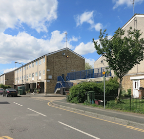
Rectory Lane has the grade II* listed All Saints church, which partly dates from about 1330, and a terrace of Georgian houses, but the majority of residents live in modern housing on or off Sidcup Hill and Cray Road.
Foots Cray Meadows lie to the north of the built-up area and contain the remains of Foots Cray Place, which burned down in 1949. Kingfishers and ring-necked parakeets are among the park’s plentiful wildlife.