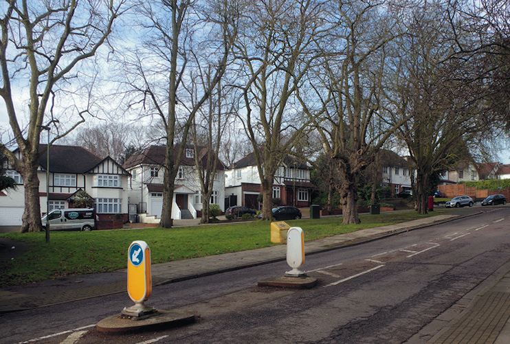
Oakleigh Park
Oakleigh Park, Barnet
A superior suburb situated east of Whetstone and north of Friern Barnet

Oakleigh Road is an old route, called Avernstreet in 1499 and by a number of other names in subsequent centuries, but its present identity dates from the Whetstone Freehold Estate Company’s invention of the Oakleigh Park name after it acquired land here in 1869. Until then this had been Matthews Farm, the property of the Haughton Clarke family, who had made their money from the slave trade. When the station opened here in 1873 the estate company ensured that it too was named Oakleigh Park.
The WFEC set out to build a high-class estate to capitalise on the quality of the wooded and undulating landscape and aimed to include a variety of morally and physically improving facilities at the showpiece Athenaeum Institute, which opened in 1881 with a grand concert.
All Saints’ church was completed in 1883, with the sponsorship of Friern Barnet bigwig John Miles, who also laid out Myddelton Park, the street that runs south of the church. All Saints’ is notable for its elaborate interior decoration, which took decades to finish.
After an early flurry of interest the Oakleigh Park project soon ran out of steam. By the beginning of the 1890s Athenaeum Road and Oakleigh Park North and South had only 56 houses between them, while the institute was being used for commercial purposes – which continued in various forms for the remainder of its existence. Other attempts to colonise the area were also slow to bear fruit.
The former estate of the duke of Buckingham and Chandos was sold in 1892 but only Chandos Avenue had been partially developed by 1920. All Saints’ Road, now Oakleigh Avenue, was still an empty track at this time. Oakleigh Park was eventually built up by the outbreak of the Second World War, partly by the council, which put up a 36-acre estate in the Russell Road area and in 1928 opened All Saints’ School. New Ideal Homesteads, whose projects were mostly in south London, built more economical properties east of the railway line on 45 acres of Gallants Farm.
The Oakleigh ward is distinguished by its relatively elderly population.
Oakleigh Park was a base for espionage and counterespionage during and after the Second World War. The Soviet Union’s Tass news agency operated a radio monitoring station at The Lodge in Oakleigh Park North from 1941 to 1951. The Admiralty set up a base a few doors down at Tower House, allegedly so that they could keep an eye on the Russians and also for use as a safe house. Both buildings have since been pulled down and replaced by flats, and it is further alleged that the government overruled Barnet council’s objections to the demolition of Tower House so that its secrets might be buried forever.
