Marling Park
Marling Park, Richmond upon Thames
The south-western corner of Hampton, fringed by parkland and playing fields that back onto the reservoirs of Hanworth and Kempton Park

The earliest recorded property hereabouts was Newhouse, later known as the Old Farm House, which was in existence by the late 16th century and survived (though probably in rebuilt form) for almost 400 years.
By the mid-19th century the farm was known as Tangley Park. Its owners built the ‘commodious’ Royal Hotel on their land in 1867 but the structure was never used for its intended purpose. Instead it became the Female Orphan Home when the institution moved here from Walthamstow in 1869.
Major WB Marling purchased the estate in 1890 – renaming it after himself – and an exceedingly slow process of suburban development got under way.
All Saints Hampton, by the prolific church architects FH Greenaway and JE Newberry, was consecrated in 1908 but not completed until later – and without its planned tower.
On Oak Avenue, at the corner of South Road, the Royal Oak was originally built as two houses in 1921 then converted into a pub in 1924.
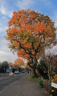
Most of the present properties in Marling Park date from the 1930s and 1950s, with semi-detached houses fronting verdant avenues. The varying finishes subsequently applied to the external walls aggravate the architectural disharmony – but the abundance of mature trees makes up for a lot.
Old Farm House was demolished in the 1960s and the area to its north was developed from 1973 onwards as Hampton Nurserylands, which will be the subject of a separate page on Hidden London sooner or later.
Though it continues to appear on A–Z maps, the name Marling Park is largely unrecognised by local residents, who simply think of this locality as part of Hampton, or specifically Hampton Nurserylands on the north side.
Twickenham rugby football club plays at the Parkfields ground on South Road.