Wood Green
Wood Green, Haringey
A strategic shopping centre and its multi-ethnic hinterland, situated two miles west of Tottenham

Wood Green was first recorded in 1502 as a clearing on the edge of Tottenham Wood. Until the mid-19th century it remained an outlying hamlet in Tottenham parish, of much less significance than neighbouring Hornsey.
St Michael’s church was built in 1844 and the village began to grow in anticipation of the coming of the railway. Wood Green’s first station and school both opened in 1859, new roads were laid out north of the church and were lined with villas for the middle classes, while several charitable organisations built almshouses here.
A pleasure ground opened in Alexandra Park, followed by an entertainment palace in 1873. In 1883 the Artizans’, Labourers’ and General Dwellings Co. began work on the Noel Park estate, one of the largest projects of its kind in Victorian London.
Wood Green gained municipal independence from Tottenham in 1894 and has had a local government headquarters ever since, now in the form of Haringey’s civic centre.
In the early decades of the 20th century almost all the remaining gaps were filled by middle-class houses in the north, working-class terraces in the south and factories near the railway lines. The London County Council built the White Hart Lane estate on the surviving farmland between Wood Green and Tottenham.
After the Second World War the retailers on the High Road began to outperform all their nearby rivals and by the mid-1960s Wood Green had become the north London’s most important shopping destination.
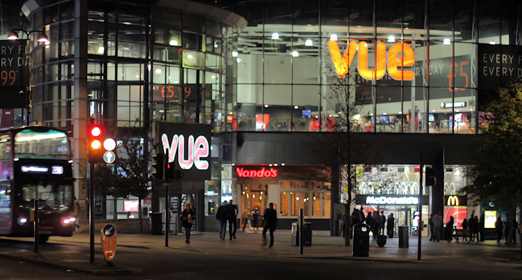
In the mid-1970s the defunct Noel Park & Wood Green station and many neighbouring buildings were demolished to make way for Wood Green shopping city, a mall straddling the High Road, which elsewhere is flanked by a very mixed range of outlets. Cinemas and affordable restaurants have since broadened Wood Green’s leisure appeal – though its lure to shoppers has declined in the face of competition from retail parks along the North Circular.
For a century Wood Green was home to Barratt’s, the confectioners, but the company moved out in 1980 as part of a general trend for offices and shops to replace manufacturing as the district’s principal employers. Marked with a pin on the map below, Barratt’s former factory on Clarendon Road became the focus of the Wood Green cultural quarter. Several of the businesses based here function as production facilities for the creative industry rather than attractions for the general public, and this resulted in some misunderstanding and mockery of the ‘cultural quarter’ name. However, the council is keen to encourage more outward-facing arts enterprises, which may result in developments of the kind lately seen at Hackney Wick and Fish Island, though probably not on the same scale.
Among the Wood Green area’s many ethnic communities, the largest groups are Turkish, black African (especially Somali) and black Caribbean.
Postal district: N22
Station: Piccadilly line (zone 3)
Further reading: Christine Protz and Deborah Hedgecock, Tottenham and Wood Green Then & Now, History Press, 2011
and Albert Pinching, Wood Green Through Time, Amberley, 2013
See also: Turnpike Lane