Rayners Lane
Rayners Lane, Harrow
A suburban conglomeration west of Harrow, taking its identity from the tube station, which was in turn named after the long and winding road that runs through here on its way from South Harrow to Pinner

From medieval times smallholders used the lane when carting their grain to the mill on Pinner Green. It was originally called Bourne Lane, because it crossed several streams, including the Yeading Brook.
The Rayner family, who lived here in the first half of the 19th century, were not illustrious property owners but working tenants of the farmer who had acquired the neighbouring land.
In 1906 the Metropolitan Railway opened a wooden halt here, which was also served by District (later Piccadilly) line services from 1910, but at that time this was considered too remote a spot to be of interest to property developers.
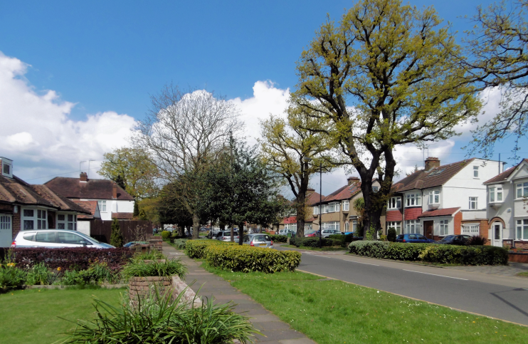
It wasn’t until the decade before the Second World War that the countryside around the station was completely transformed, mainly by TF Nash, Harrow’s biggest interwar housebuilder. Nash constructed narrow gauge railway sidings at High Worple to bring in materials for the project and created the shopping parade on Alexandra Avenue.
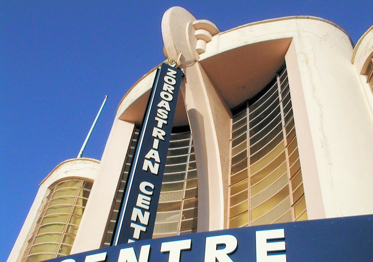
FE Bromige’s Grosvenor (later Odeon) is one of London’s finest suburban cinema buildings. Opened in 1935, its art deco frontage features an abstract representation of an elephant’s trunk. The building is now a centre of worship for members of the Zoroastrian faith.

The locality has a strong Asian and Asian British community – most of whom are of Indian birth or descent. According to the 2011 census, 35 per cent of Rayners Lane’s residents are Hindus and 34 per cent are Christians. Only 0.3 per cent are Zoroastrians – but this is the highest proportion of any ward in London. Neighbouring Pinner South has the second highest percentage.
Postcode areas: Harrow, HA2 and Pinner HA5
Population: 11,124 (2011 census)
Station: Metropolitan and Piccadilly lines (zone 5)
