Redbridge
Redbridge, Redbridge
A well-connected suburban locality in north Ilford, situated at the junction of the Eastern Avenue and the North Circular Road

There have been at least four bridges across the River Roding here. The earliest, known as Hockley’s Bridge after a medieval landowner, was standing in the 16th century. A red-brick bridge was built in 1642 and survived for two centuries, after which an iron bridge was erected in its place.
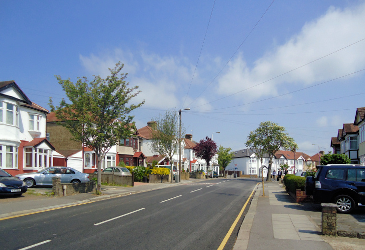
Red-brick terraced houses, now mostly pebble-dashed, were built here at the beginning of the 20th century using materials from the Ilford brickfields. Another spate of housebuilding followed the arrival of the Eastern Avenue in the mid-1920s, when the iron bridge was replaced by the present crossing.
Redbridge station opened in 1947 on a new section of the Circle line, with platforms just 26 feet below road level. The arrival of the tube could have prompted further building beside the river but the land was protected from development.
In 1965 the newly created London Borough of Redbridge united the borough of Wanstead and Woodford with the borough of Ilford. The two had formerly been separated by the River Roding and the new borough’s name was chosen because the bridge symbolised their connection.
Redbridge has been nicknamed ‘diesel alley’ because so many cab drivers choose to live here.
