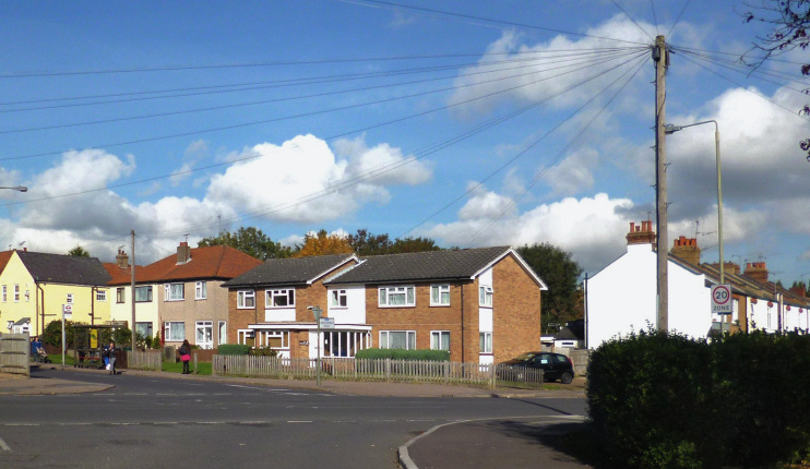
Ducks Island
Ducks Island, Barnet
A compact, little-known locality situated in south-west Barnet, separated from Totteridge by Dollis Brook

Ducks Island formerly lay isolated on the edge of Barnet Common, but was never cut off by water – and the brook rarely runs deep enough now to support waterfowl. The locality’s name may relate to a 17th-century family called Duck who were local landowners, or have been a humorous reference to the boggy clay terrain, which was fit only for ducks, or it may have referred to duck shoots that took place in the fields.
During the latter part of the 19th century a cluster of dwellings formed around the junction of Mays Lane and Chesterfield Road and a mission hall was established. It was superseded in 1896 by St Stephen’s church, Bells Hill. In 1906 an isolation hospital was built to care for patients with diphtheria and scarlet fever. It later became St Stephen’s hospital, part of Barnet general hospital.
Streets of drab semi-detached houses were laid out on part of Whitings Hill Farm shortly before the Second World War and Barnet council added a small estate of 15 houses on Connaught Road in 1953.
St Stephen’s hospital was demolished in 1999 and replaced with Darlands Drive.
