Norwood New Town
Norwood New Town, Croydon
‘The world’s first new town’ (according to some) as we understand the term today, now demolished but still named on Ordnance Survey maps

In the late 18th century Augustus Hervey, Earl of Bristol, bought a woodside cottage on Knight’s Hill Common and acquired several acres of surrounding land from the archbishop of Canterbury. Like many wealthy aristocrats he wanted to establish a London retreat to complement his City base and his country estate.
Hervey greatly enlarged the cottage to create Norwood House. After his death, Hervey’s mistress Mary Nesbitt lived on at Norwood House, playing a shadowy role in European political affairs as an agent of the British government. The mansion has been owned by the Sisters of Our Lady of Fidelity since the mid-19th century and has mostly been used for educational purposes. Nuns continue to occupy part of the site.
In the 1850s, following the decision to rebuild the Crystal Palace at nearby Sydenham, the exhibition’s management company laid out a housing estate to the south-east of Norwood House and rows of terraced cottages with tiny gardens were packed into a 9‑acre area bordered by Rockmount Road and Oxford Road. Some of the properties were occupied by builders working on the Crystal Palace project.
The new town was endowed with three public houses and enclosed by a high brick wall, which was mainly intended to prevent residents from disturbing the neighbouring community after payday carousing.
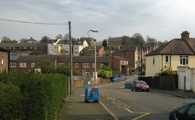
Croydon council began to compulsorily purchase run-down properties from 1955 and by 1967 Norwood New Town had been entirely bulldozed. It was subsequently reconstructed with housing of less character and few amenities, on a landscape of softened gradients.
Postal district: SE19
Further reading: Beryl Cheeseman, Treetops and Terraces, Theban Publishing, 1994
