Upminster Bridge
Upminster Bridge, Havering
The penultimate eastbound station on the District line, situated in the border country between Upminster and Hornchurch

The station’s name refers to the road bridge over the River Ingrebourne at the foot of Upminster Hill. In 1782 the vestry board proposed a stone-built replacement for the old wooden bridge, but the plan was rejected. This proved a false economy because subsequent timber repairs cost as much as the stone bridge would have done.
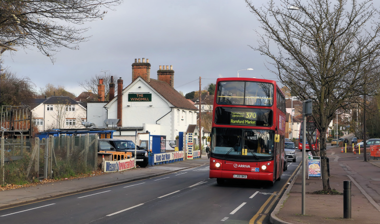
Construction of a sturdier crossing had to wait until 1891, following heavy rain and disastrous floods three years earlier in which the Bridge House Inn (now the Windmill, shown in the photograph above*) had been badly damaged. The new bridge was twice the width of its predecessor and had a time capsule of local documents and publications sealed into the foundations, seven feet below the road surface.
Nearby, speculative house-building began before the First World War and the area was fully developed by around 1930, with the station opening in December 1934. Replacements, ‘improvements’ and ongoing infilling have had a messy effect on the area’s domestic architecture. The local shops, also a mixed bag, are mainly of the low rent variety.
Hornchurch stadium, on Bridge Avenue, was built in 1952. The stadium has athletics facilities and is home to Hornchurch FC.
