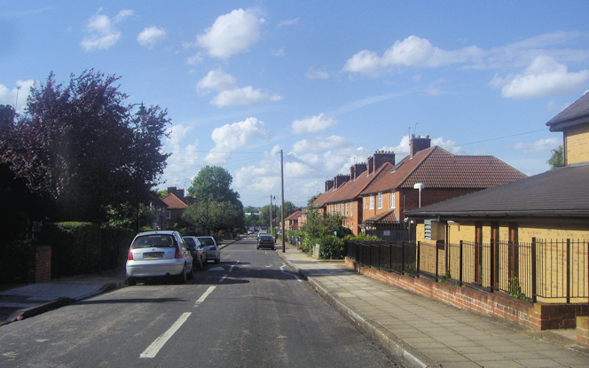
Elthorne Heights
Elthorne Heights, Ealing
A hotch-potch of interwar semi-detached houses and council tower blocks and terraced houses constituting the north-western corner of Hanwell, on its border with Greenford

Elthorne was a hundred, a medieval administrative division that took in Hanwell, Greenford, Harmondsworth and West Drayton. Elthorne Heights was earlier considered a more prestigious name than that of Hanwell, but is now little used.
This was the last part of Hanwell to be built up, and was saved from overdevelopment by the opening of the Brent Valley golf club around 1910. Soon afterwards developers laid out Studland Road and the streets to its north and almost all the available building land was filled by 1935.
The borough council took over the golf club in 1938 and it became a public course. Elsewhere, the river’s border has been preserved as part of Brent Valley Park.
Mayfield primary school on High Lane is a popular school with a culturally diverse intake. To the north-west and east of the locality there are too many schools to name them all, especially as some of their names are very long – e.g. Our Lady of the Visitation Catholic primary school and École André Malraux (Lycée Français Charles de Gaulle de Londres).
Elthorne Heights’ only public house, the White Hart, 324 Greenford Avenue, closed in early 2015.
Postal district: W7
