Sandy Heath
Sandy Heath, Camden
The part of Hampstead Heath that fills the angle formed by North End Way and Spaniards Road

Sandy Heath’s name reflects its earlier character, before huge quantities of clay, sand and gravel were excavated in the 1860s for making bricks and laying railways – especially the Midland Railway Company’s line into St Pancras. The Illustrated London News vividly described the extraordinary extent of the extraction in 1871:
“The very body of the earth has been cut away to an amazing depth … Holes are scooped out close to the high road thirty or forty feet deep, and big enough to bury the corpses of a nation for half a century … but ugly enough to deter the boldest survivor from approaching so ghastly a spot.”*
The destructive exploitation of the Claygate Beds and Bagshot Sands of Sandy Heath was authorised by Sir Thomas Maryon Wilson, the notoriously rapacious lord of the manor who sold 21-year leases to the extractors.
Maryon Wilson’s persistent attempts to profit from his stewardship of the common land prompted the campaign that led to the Metropolitan Board of Works’ acquisition of Hampstead Heath in 1871.
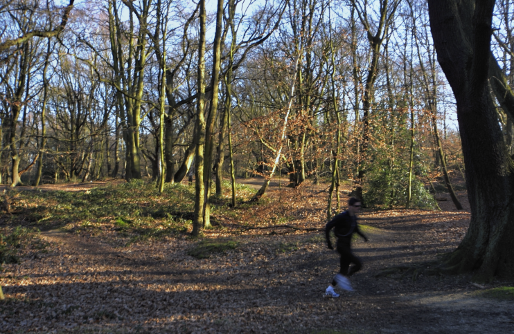
Sandy Heath’s landscape is now low-lying and hummocky, with bogs and precipitous hollows. The once despoiled terrain has been colonised by birch, beech and oak trees that provide a favourable habitat for nesting birds like long-tailed tits.

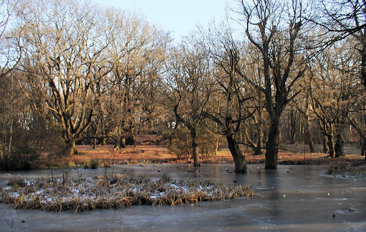
An interconnected set of ponds in the middle of the heath is called Iron Pan Ponds** – also known collectively as Sandy Heath Pond.
Despite some steep climbs, Sandy Heath is popular with walkers and horse riders. A raised path formerly known as Rotten Row, but now an extension of Sandy Road, runs across the heath from North End to Spaniards End (or from the Old Bull and Bush to the Spaniards Inn, if you seek refreshment).
The route of the raised path is shown in the satellite image below. Volunteers from Heath Hands help with gorse management, so that all the paths remain passable.
Postal district: NW3
