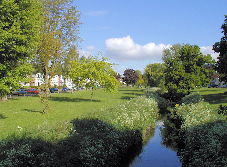
South Barnet
South Barnet, Barnet
An infrequently used name for the far south-eastern corner of Barnet, bordering Southgate’s Osidge

South Barnet was formerly also known as Sans or Sarnes Barnet – that is, ‘without (meaning ‘outside’) Barnet’. Sarnets Barnet was a delightful alternative version.
During the 12th century the Bishop of London gave South Barnet to the Order of the Hospital of St John of Jerusalem, as part of their holdings at Friern Barnet. The endowment was confirmed by King John in a charter of 1199.
When suburban development began here at the end of the 19th century South Barnet gained its own church, St Michael’s, on the Brunswick Park estate. The St Albans diocese decided not to fund the proposed church’s proposed enlargement in 1936 and the matter went no further. In 1972 the parish was broken up and incorporated into the four neighbouring parishes. The church was demolished and in 1977 the Church Commissioners cleared the site and sold the land for housing. Thus ended the independent history of South Barnet; most locals now consider their homes to be in East Barnet or Brunswick Park.
The area is relatively prosperous and a high proportion of households has access to a car or two. When Parkside Gardens and Brookside South were made part of the new No. 382 bus route in 2003, more than 200 residents signed a petition (vainly) opposing the service.
