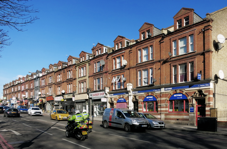
Upper Clapton
Upper Clapton, Hackney
The northern part of Clapton is nowadays dominated by municipal and social housing and has a markedly transient population

Manorial courts began to divide Clapton into upper and lower halves around 1800 and the terminology soon entered popular parlance; Upper Clapton Road was formerly Hackney Lane and Clapton Common was Broad Common. From the late 18th century labourers’ cottages began to cluster along the southern end of Upper Clapton Road and on Kate’s Lane (now Northwold Road). Grander properties were erected in the direction of Stamford Hill, mostly detached but with a few high class terraces.
In the latter half of the 19th century construction spread beyond the main thoroughfares into a network of newly created streets that joined up with Stoke Newington and Shacklewell to the west. Towards the River Lea the grounds of three large houses were saved by the creation of Springfield Park in 1905. By this time Upper Clapton had its own shops, schools, pubs and places of worship. A few houses were converted for use as clothing workshops after the First World War.
From the early 1930s metropolitan and local authorities seized on Upper Clapton as a suitable setting for large-scale housing projects.
Some of the schemes utilised surviving open ground and some replaced slum housing but others were built at the expense of sound Georgian villas and terraces. Hackney council added system-built towers in the 1960s and 70s before switching to low-rise blocks in its last phase of municipal construction. There has been relatively little fresh building since this time.
With its concentrated stock of social housing, Upper Clapton is a deprived area and the transient population includes a number of refugee families. The largest ethnic minority is of black Caribbean heritage.
