Havering-atte-Bower
Havering-atte-Bower, Havering
An extended village situated on high ground three miles north of Romford
In Havering-atte-Bower the middle word is pronounced ‘atty’ and Havering is pronounced the same way as the verb, despite the fable you’re about to hear.
Sometime in the mid-eleventh century Edward the Confessor had a country retreat or ‘bower’ built hereabouts, which was later augmented to become a small palace (and that part of the story is true). On one occasion, while on a visit to his bower, Edward was approached by a beggar asking for alms, to which he replied, “I have no money, but I have a ring,” which he handed over, and that is how Havering got its name. The same beggar later met some pilgrims and passed the ring to them, saying, “Give this to your king, and tell him that within six months he shall die.” And this apparently came to pass. The tale is so far-fetched that it scarcely bears repeating, yet the ring in question retains a central position on the borough’s coat of arms to this day.
In fact, the name ‘Havering’ probably derives from a landowner called Hæfer.
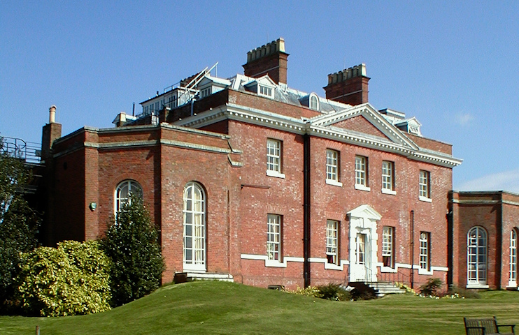
A succession of royal associations came to an end during the Commonwealth when the palace fell into decay and was afterwards demolished. Bower House was built nearby in 1729, incorporating some of the palace’s old stones. A private home until 1976, Bower House was thereafter used by the Ford Motor Company for management training and dealer presentations until its acquisition by the Amana Trust, an Evangelical foundation. Both the house and its stable block are grade I listed.
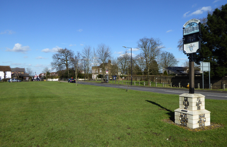
The Royal Liberty of Havering extended over most of the area of the present borough from 1465 to 1892. The tower on the coat of arms represents the old Palace of Havering (though it’s topped with the horns of Hornchurch).
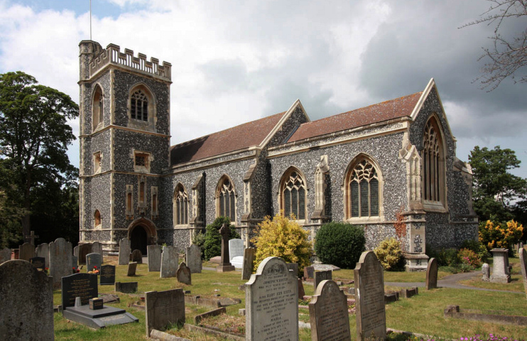
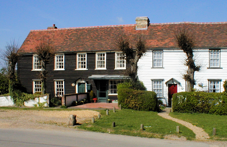
The village is by no means unspoilt but retains sufficient historic structures to give it some character, including 18th-century weatherboarded cottages and the flint-faced church of St John the Evangelist (rebuilt in 1876–8) and there are glorious views over Essex meadowland.
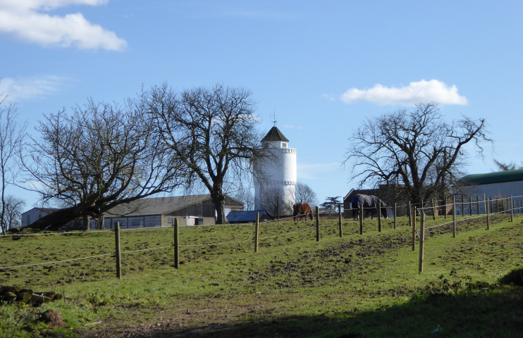
The grade II* listed Round House, on Broxhill Road, is an elliptical, three-storeyed, stuccoed villa dating from 1794. (Click here for a bird’s eye view.) It should not be confused with the taller, rounder water tower to its east, which is also a pleasing structure and is shown in one of the images above. If you look carefully you can see them both in the satellite view below.
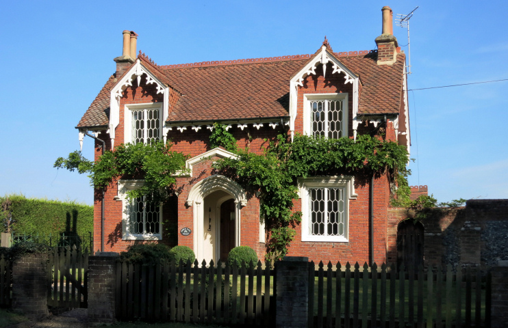
Other signficant private homes include Blue Boar Hall (built some time around 1600 and refronted in the 19th century), Rose Cottage (c.1740s) and Bower Farm Cottage (c.1840, shown above). They are all grade II listed.
Havering’s post-war expansion was constrained by green-belt designation of most of the surrounding farmland. What little development has taken place has been principally to the north, but some residents of the Hillrise estate to the south-west consider their neighbourhood to be connected with Havering-atte-Bower.
The village green has a double set of stocks and a whipping post (click for a photo). Although some sources (e.g. Wikipedia, uncited) claim this is the original suite of punishment furniture, Historic England says it was “renewed in facsimile in 1966” – but nevertheless awards it a grade II listing.

