Little Britain
Little Britain, Hillingdon
A lake and its vicinity located just inside London’s border with Buckinghamshire, north-west of Yiewsley

Little Britain’s identity first appeared in print on the far western edge of Greenwood’s map of Middlesex, published in 1819. It is possible that the name derives from the vaguely Britannic shape of the ‘island’ formed by the River Colne, Fray’s River and the Slough arm of the Grand Union Canal. Alternatively, it could have been a whimsical nickname for a tiny settlement or have been borrowed (for some unknown reason) from the City of London street called Little Britain.
The terrain here is flat and relatively low: around 90 feet (27–28 metres) above sea level throughout the locality. There were houses on Packet Boat Lane and Old Mill Lane by 1864. Since at least this time the narrow bridge carrying Packet Boat Lane across Fray’s River has been called Little Britain Bridge.
The ‘old mill’ at what was then the northern end of Old Mill Lane was Yiewsley Mill, which ground flour until it burned down in 1873. The neighbouring mid-19th century millhouse has survived to the present day and is a locally listed building.
In the late 19th century Yiewsley’s St Matthew’s church established a mission room at Little Britain but this did not last long.
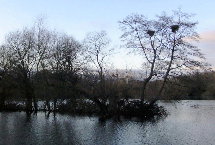
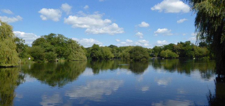
Little Britain Lake was created following gravel extraction in the early 1930s. The lake covers approximately 14 acres and is sandwiched between Old Mill Lane to its east and the winding River Colne (which also forms the border with Buckinghamshire) to the west.
The lake’s artificial islands were made from hornbeam and birch stakes, combined with woven rooting willow, to provide a safe habitat for waterfowl.
Little Britain Lake has been the responsibility of the London Borough of Hillingdon since 1983, following a period when it was leased to a private tenant who controlled its angling rights.
Much of the Little Britain area now forms part of the Colne Valley Park, which was established in 1965. In addition to its wildlife walks, an asphalt path laid around the western edge of the lake in 2005 is especially suitable for users of wheelchairs, mobility scooters and for people with impaired mobility.
Little Britain is designated a site of importance for nature conservation.

On the far bank of the Grand Union Canal, north of Packet Boat Lane, Union Park was built in the 1990s as a commercial office estate. Regeneration specialist London Green acquired “this large unloved business park” in February 2015 and obtained planning consent for its redevelopment with 251 residential units and associated landscaping, including an extensive upgrade of the canal towpath.
The geographical extent of the Little Britain locality is not well defined. On most maps its name has historically appeared north of Packet Boat Lane and east of Fray’s River, but sometimes west of the river. However, on current Ordnance Survey maps the Little Britain name is placed close to Packet Boat Marina and the Slough arm of the Grand Union Canal.
The locality is very sparsely populated. Its few residents are predominantly white British; living standards are relatively high; most householders own their own home and have access to at least one car.
Postcode area: Uxbridge UB8
See also: Cowley Peachey
