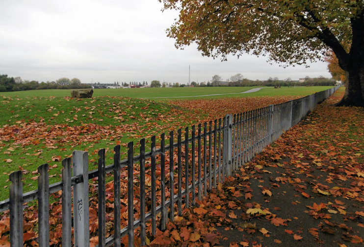
Castle Green
Castle Green, Barking & Dagenham
A residential locality with a wide variety of amenities, situated north of Ripple Road on the border between Barking and Dagenham

In this area the present-day A13 approximately divides what were once uninhabitable Thames marshes from slightly higher ground where homes could be built. Farmhouses were loosely strung out along Ripple Road – notably Scrattons Farm in this locality – with little else to be seen between Barking and Rainham. And that’s how it seems to have been for thousands of years. Evidence of an Early Iron Age subsistence farm has recently been discovered in a corner of what is now Dagenham leisure park.
Castle Green takes its name from Ripple Castle, a minor mansion with a castellated front half, which stood at what is now the south end of Castle Road from c.1800 to 1930. The area is also known as Goresbrook, after a small stream that makes its first appearance in Goresbrook Park and flows south to Dagenham Dock. A gore was a wedge-shaped strip of land but also Essex dialect for a ‘muddy obstruction in a watercourse’ and it’s not known which meaning applied here.
After the demolition of Ripple Castle the area was built up as Barking and Dagenham expanded to meet each other between the wars. Goresbrook Village’s three 16-storey blocks significantly increased the locality’s population density in the 1960s. This is an area with social difficulties and over the past few years it has been the focus of a range of projects designed to improve the quality of life of its residents.
The Castle Green centre, which opened on Gale Street in 2005, unifies an extraordinarily wide variety of community resources. These include a crèche and nursery, the Jo Richardson community school, a library, an adult college, a theatre, entertainment and conference spaces, and sports and catering facilities.
East of the Castle Green centre there are sports grounds and, beyond those, Dagenham leisure park, which has a cinema, bingo hall, bowling alley and nightclub – and exactly the set of accompanying eateries that you might expect to find.
Goresbrook school opened in 2014 on the site of a former leisure centre. This is an entirely new institution, created in response to a rapid rise in the number of children living in the borough. When it reaches full capacity, the school will accommodate up to 1,355 children aged 3 to 18.
West of Castle Green recreation ground, the hefty tower blocks of Goresbrook Village have been demolished and replaced by Castle Green Place. Designed by the Stitch architecture studio, most of Castle Green Place consists of council homes for rent, while the remaining properties were quickly sold privately.
Goresbrook Village featured in the 2010 Channel 4 reality documentary series Tower Block of Commons.
Postcode areas: Dagenham RM9 and Barking IG11
See also: Rippleside
