Sidcup
Sidcup, Bexley A primarily 1930s suburb situated between Chislehurst and Bexley Sidcup’s name was first recorded in 1254 (as Cetecopp) and is derived from Old…
Read More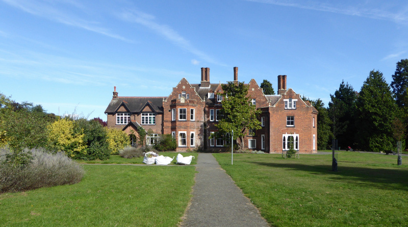
Slade Green, Bexley The easternmost settlement in London south of the Thames, situated north of Barnes Cray This was formerly the manor of Howbury, recorded…
Read More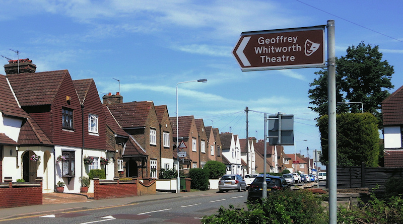
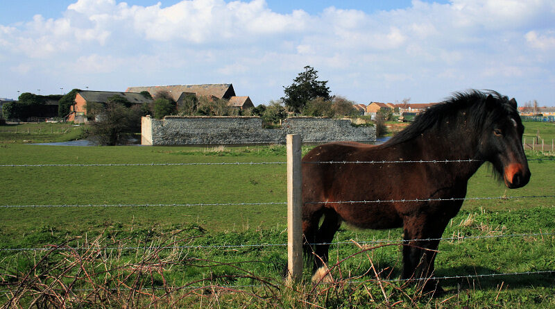
Barnes Cray, Bexley An industrial and working-class residential outpost of Crayford, located to the north-west of Dartford, Kent This was said to have been the…
Read More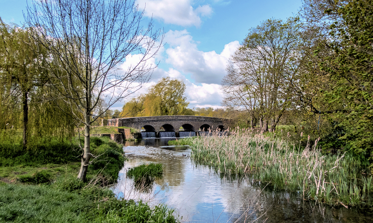
Foots Cray, Bexley A commercial and residential area located beside the River Cray in south-east Sidcup Archaeologists have found evidence of the deliberate burning of…
Read More
…wards in boroughs like Havering, Bexley and Bromley had a 90 or even 95 per cent white British composition in 2001. Now, no ward in…
Read More
…in London. Bexley The district has several historic buildings, of which Hall Place is the most impressive. Blackheath The perfect place to spend a lazy…
Read More…‘lost’ to Bexley when the London boroughs were reorganized in 1965. Chislehurst Caves, off Old Hill, are a disused chalk mine with several miles of passageways…
Read More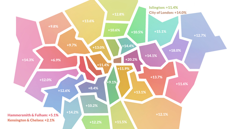
…Barking and Dagenham 206,934 244,139 +18.0% Barnet 388,416 441,372 +13.6% Bexley 245,181 273,647 +11.6% Brent 330,770 362,949 +9.7% Bromley 328,715 368,606 +12.1% Camden 248,472 280,730…
Read More