Projected population growth
…203,067 227,859 +12.2% Tower Hamlets 303,891 365,382 +20.2% Waltham Forest 275,578 304,484 +10.5% Wandsworth 320,598 347,463 +8.4% Westminster 246,149 274,161 +11.4% Greater London total 8,832,370…
Read More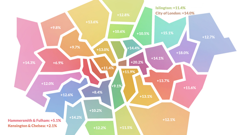
…203,067 227,859 +12.2% Tower Hamlets 303,891 365,382 +20.2% Waltham Forest 275,578 304,484 +10.5% Wandsworth 320,598 347,463 +8.4% Westminster 246,149 274,161 +11.4% Greater London total 8,832,370…
Read MoreSt James Street, Waltham Forest A station and street situated at the southern end of Blackhorse Road in west Walthamstow The rear of houses in…
Read More
Leytonstone, Waltham Forest A Victorian suburb situated between Wanstead and Leyton Leytonstone takes its name from an old milestone that is now topped by a…
Read More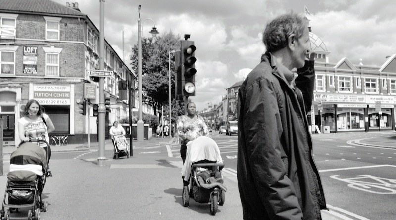
Hoe Street, Waltham Forest An electoral ward and spinal thoroughfare in Walthamstow, linking High Road Leyton with Chingford Road Hoe Street’s existence was first noted…
Read MoreWalthamstow Town Hall Walthamstow town hall is the centrepiece of an imposing group of buildings that make up Waltham Forest’s civic centre, with the magistrates’…
Read More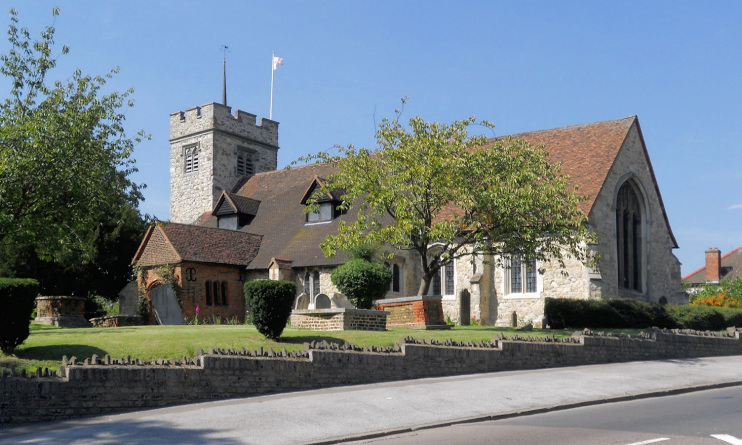
Chingford Mount, Waltham Forest The commanding height of Chingford, located on its western side The parish church of All Saints was founded here in the…
Read More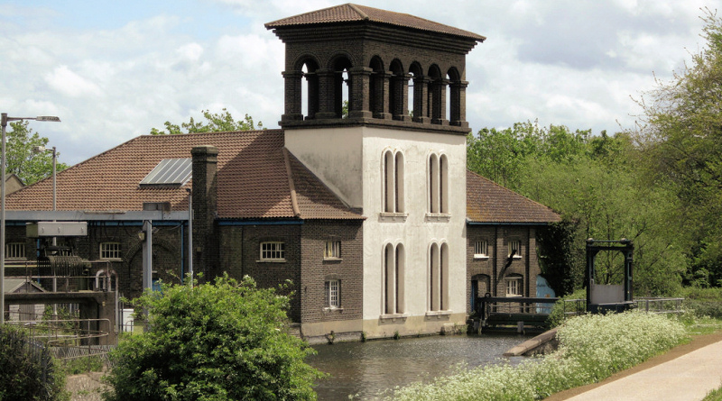
Coppermills, Waltham Forest A watery quarter lying beside Walthamstow Marshes on the southern banks of the River Lea (Walthamstow) reservoirs A watermill was in existence…
Read More
Chapel End, Waltham Forest A densely populated part of north Walthamstow with a wide variety of ethnic minorities, including Asian, Turkish and Greek communities Established…
Read More
Wood Street, Waltham Forest An impressively improved commercial thoroughfare in Upper Walthamstow, north of Whipps Cross A small linear settlement was established here by the…
Read More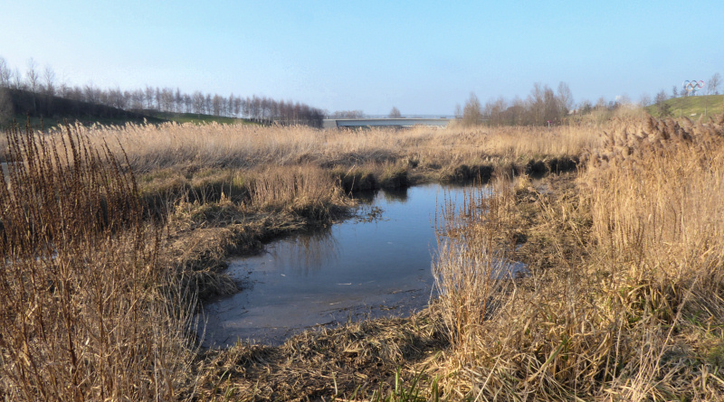
Temple Mills, Newham/Waltham Forest A former industrial, commercial and railway area beside the River Lea that was transformed for the 2012 Olympic Games A crossing…
Read More