Blackheath
Blackheath, Lewisham/Greenwich A pretty village and common, separated from Greenwich Park by Shooters Hill Road and originally focused on the junction of roads to Greenwich,…
Read More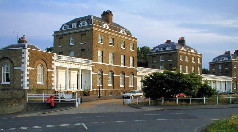
Blackheath, Lewisham/Greenwich A pretty village and common, separated from Greenwich Park by Shooters Hill Road and originally focused on the junction of roads to Greenwich,…
Read More
Honor Oak Park, Lewisham Honor Oak’s south-eastern neighbourhood, situated between Brockley’s Crofton Park locality and Forest Hill – and often considered to be part of…
Read More
Crofton Park, Lewisham The southern part of Brockley, bordering Honor Oak Park This was the location of the village of Brockley in the 18th century, centred…
Read More
Lawrie Park, Bromley/Lewisham A Victorian estate located in the heights of Upper Sydenham, on the north-eastern edge of Crystal Palace Park The estate was enclosed…
Read More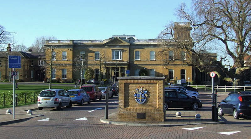
…the rest of the borough (as it does on the map too, forming an isthmus surrounded by Greenwich to the north and east and Lewisham…
Read More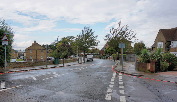
…apartment blocks and the Museum of London Docklands, based in the former No. 1 Warehouse. Postal district: E14 Station: Docklands Light Railway, Lewisham branch (zone 2)…
Read More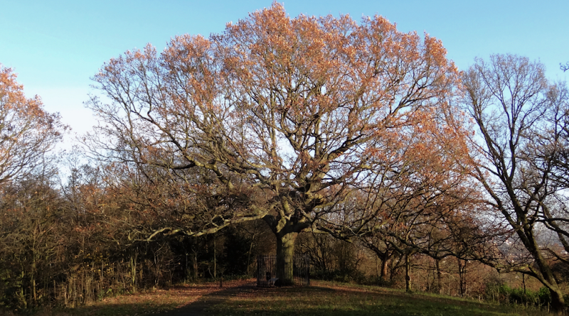
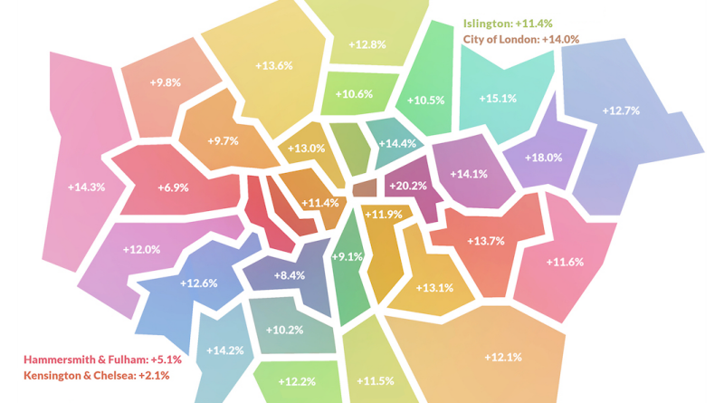
…275,083 308,099 +12.0% Islington 232,196 262,507 +13.1% Kensington and Chelsea 158,011 161,310 +2.1% Kingston upon Thames 176,952 202,097 +14.2% Lambeth 328,076 357,980 +9.1% Lewisham 301,541…
Read More…Gee landed a Brymon Dash 7 on the quay in June 1982. Postal district: E14 Station: Docklands Light Railway, Lewisham branch (zone 2) View larger OpenStreetMap…
Read More